
A Diagram Group website

DIAGRAM SOLUTIONS

Supply Chain
Management

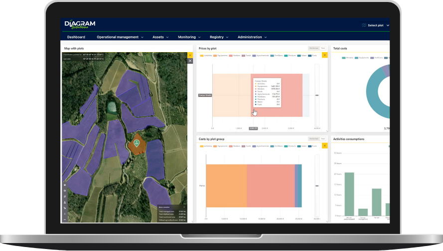
The solution integrates advanced traceability and monitoring functionalities, ensuring full visibility across the entire production process, from production to the final consumer. It simplifies administrative processes, improving operational and logistical efficiency, and provides essential tools for technical support, control activities, and the management of certifications, ensuring transparency and environmental sustainability.

Production Management and Control on Field

Specific functionalities for managing and controlling field production, essential to ensure product compliance and process traceability:

  • Audits and Checklists: Ensure the accuracy of technical activities, certifications, and document collection through checklists dedicated to verifying compliance with market access requirements.
  • Site Visits: A tool supporting technical inspections (phenological stages, adversities, yield estimates), audits, inspections, and company checks, for document and image collection, and other supply chain-related needs.
  • Documentation and Deadlines: Management of documents necessary for supply chain certification and other purposes, such as contracts, reports, and images, with control of related deadlines.

Connecting Production, Compliance and Sustainability

Supplier monitoring, verification of compliance with standards through a single integrated platform.

Full visibility of suppliers, fields and production practices.

Digital tools to manage audits, certifications and regulatory compliance.
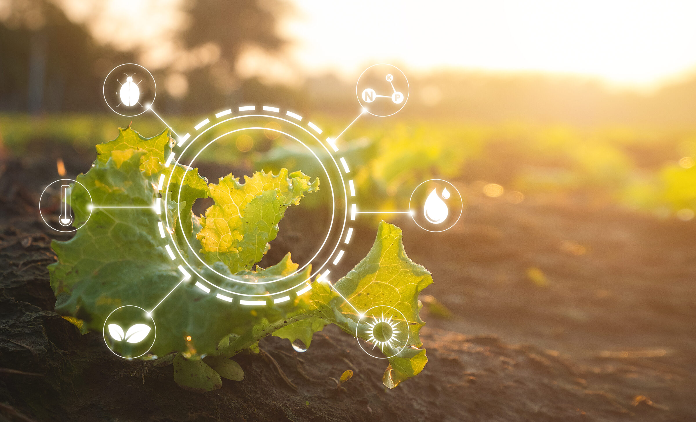
Data on soil, climate, and land use to support ESG reporting.

Guidelines to help suppliers adopt more sustainable practices.
Supply Chain Treatment Register

It allows managing an unlimited number of companies, thanks to a hierarchically organized platform. The company can record all its agricultural practices and generate the Treatment Register.

  • Agrochemicals
  • Print Warehouse Register
  • Crop Protection
  • Weed Control
  • Compliance with label registrations
  • Compliance with application dosages
  • Compliance with the maximum number of treatments allowed by the label and PPE
  • Interval between treatments with the same product
  • Compliance with the maximum dose per hectare per treatment and per year
  • Ability to perform retrospective checks and verifications through the historical database
  • Withdrawal time control
  • Eligibility for open field or greenhouse use
  • Cost per Agricultural Operation
  • Hourly cost of labor and machinery
  • Cost of technical means/products (with weighted average cost)
  • Explicit costs per hectare and per production unit
  • Fertilizers, auxiliaries, consumables
  • Print warehouse registers for all technical means
  • Fertilization Management
  • Fertilization Plans
  • Control of maximum NPK inputs, by period and per individual fertilization
  • Printouts
  • Integrated Production Regulation EC 1698/05 FEASR
  • Global G.A.P. Certification
  • SQNPI Certification
    Conditionality
  • Verification of authorized active substances
  • Printouts and control according to EU Regulation 848/2018

Monitoring and Evaluation of Environmental Parameters

Ready-to-use solutions for monitoring and evaluating environmental parameters.

Soil Health

Analyzes soil, drastically reducing the number of samples compared to traditional methods, and digitalizes the results of the analyses on the platform and mobile app.

Soil Mapping

Digital soil maps display in a dedicated layer: Granulometry (% of clay, silt, and sand), Nitrogen, Phosphorus, Magnesium, and Potassium, Cation Exchange Capacity, pH.

Organic Carbon

Monitoring of organic carbon allows the activation of policies aimed at improving agricultural practices to increase carbon storage.

Erosion Risk Index

Evaluation of the risk of soil loss through a synthetic index based on historical data and environmental factors such as rainfall, morphology, soil, and agricultural practices.

Weather Risk Index

Monitoring of risks related to extreme weather events and environmental changes, with analysis based on satellite and agro-meteorological data.

Water Balance

Estimates the availability and water needs of crops by integrating satellite data and ground sensors to optimize water use.

Contact us for more information