A Diagram Group website
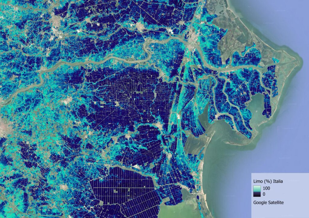
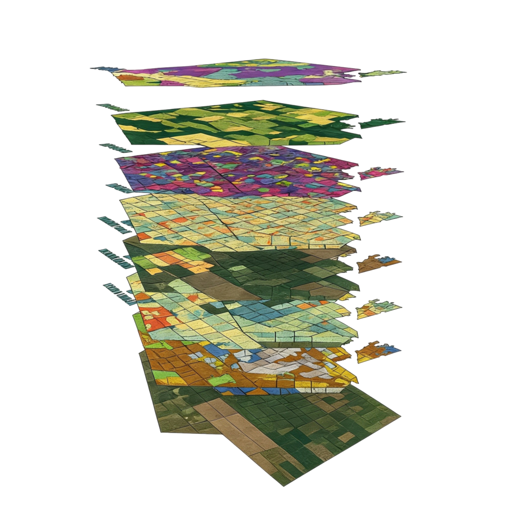
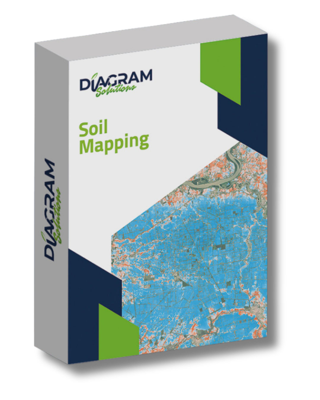
The Soil Mapping service transforms satellite data, field surveys and predictive models into high-resolution digital maps that highlight the actual variability of the soil. Using an advanced WebGIS platform, multi-year satellite imagery, AI and laboratory analyses are integrated to create an accurate, data-driven representation of soil characteristics.
An integrated digital soil mapping process, based on a combination of:
Multi-year satellite data synthesised into a composite image of bare ground.
Laboratory analyses carried out in accordance with official government methods.
Georeferenced sampling (0–30 cm deep), carried out using tablets equipped with RTK systems offering centimetre-level accuracy.
Machine learning predictive models for the automatic generation of thematic maps of soil parameters.
Soil erosion and organic carbon maps are essential tools for land management, for making production more efficient and for promoting sustainable practices.
Accurate quantification of the carbon stored in the soil represents a strategic advantage for countries and local businesses, strengthening their position in the emerging carbon credit market and transforming the soil into a measurable asset with economic value.
Adding {{itemName}} to cart
Added {{itemName}} to cart