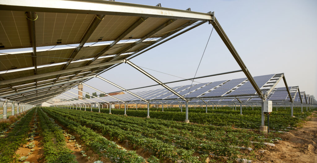
Advanced technology designed for sustainable energy supply chains: by integrating satellite technology, IoT sensors and management platforms, the solution optimises renewable energy production whilst ensuring agricultural productivity and environmental protection
A comprehensive support service, from data collection and the supply of sensors to the preparation of an agronomic report.
01
Agricultural expertise
Required for the preparation of the mandatory agronomic report.
03
Agricultural reports
Relationships that meet the requirements for water conservation, soil fertility, microclimate and resilience to climate change.
02
Sensors
All our Netsens solutions for monitoring all key aspects, such as the continuity of farming or livestock operations.
04
Advanced reporting
Detailed reports confirming compliance with all requirements.
the platform for BIOENERGY SUPPLY CHAINS
This solution for businesses enables increased efficiency and sustainability by monitoring all the parameters needed to make targeted decisions in the field, thereby optimising the production process.
The platform enables:
A reduction in pollutant emissions
Analysis of molecules for both pest control and nutrition: verification and setting of quantity limits in accordance with integrated production guidelines, organic regulations and private specifications
Responsible soil management (assessment of soil texture and residual nutrient content) and protection of biodiversity through the use of molecules with a lower environmental impact
Management of beneficial insects and consultation of predictive models (pest control and irrigation), sustainable and inclusive development
Greater social equity in access to resources
Resolution
The maps are generated by combining satellite imagery, field surveys and laboratory analyses, producing high-resolution datasets with a spatial resolution of 10 or 30 metres per pixel, depending on the scale of the project.
Methodology
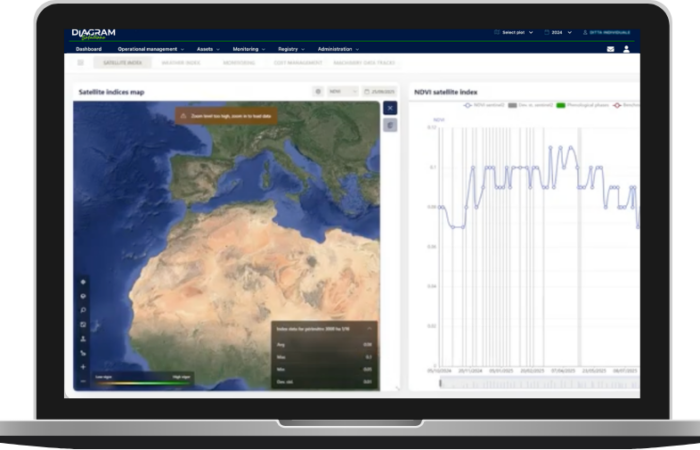
The solution enables the registration of plots of land designated for energy production, as well as the consultation and analysis of data from field inspections carried out by agricultural technicians.
Accuracy
It is possible to monitor the phenological development of crops and any plant diseases, and to analyse weather indices and satellite-based vegetation indices to generate detailed information.